| |

|
|
|
| |
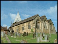
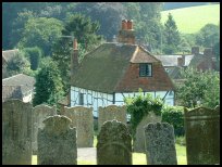
 Westerham in Kent lies between Godstone and Sevenoaks on the A25 towards
the top of the river Darent valley. Westerham in Kent lies between Godstone and Sevenoaks on the A25 towards
the top of the river Darent valley.
A settlement has been in this area from pre-roman times,as an
earthworks can still be seen in Squerryes Park.
The village was recorded as Oistreham in the Domesday Book , and
prior to the Norman Conquest was held by Earl Godwin , the father
of King Harold who was killed at the Battle of Hastings in 1066.
William the Conqueror gave the lands to one of the knights reported
to have killed Harold, Earl Eustace of Bolougne. His son Geoffrey de Boulogne,
later held them until they were transferred to the de Camville
family early 1200's.
In 1450 on January 21st during the rebellion of Jack Cade ,
Robert Poyntings led a number of locals in a riot in the village .
Sir William Crowmer who was beheaded by Cade and had his head
fixed to London Bridge , was the son of Margaret Squerryes who
lived in Westerham .
1534 and the manor was handed over to Henry VIII, who in turn gave
it to John Gresham together with Edenbridge in 1540. John Gresham
was a Knight and banker who became Lord Mayor of London in 1547.
One of Westerham's most famous sons James Wolfe was born here ,
and baptised in January 1727. He became famous for scaling the
Heights of Abraham in 1757 and capturing Quebec from the French
commander General Montcalm. He died on the 13th September 1759
in Quebec and was buried at Greenwich.
In 1922 Sir Winston Churchill purchased Chartwell , a Victorian
country house in nearby Crockham Hill . He renewed and renovated
the buildings, and lived here until his death in 1964. Chartwell
was bought by friends of Churchill, and given to the National Trust
in 1945. |
|
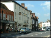
 Westerham in Kent is a very pretty small town with a very nice village green
surrounded by old shops. Westerham in Kent is a very pretty small town with a very nice village green
surrounded by old shops.
The town centre consists of a mixture of mediaeval and georgian
buildings.
Squerryes is an old house which is open to the public, and well worth
a visit. |
|
 Westerham in Kent has a wide range of services consistent with a small town. Westerham in Kent has a wide range of services consistent with a small town.
The A25 passes through the town, so is on a main bus service.
Larger shopping centres nearby are Croydon about 5 miles north or
Sevenoaks about the same distance east. |
|
| Westerham is shown as the red symbol on the map. |
|
|
Nearby Villages
(click on symbol to see the village page) |
| Village= | |
Town= | |
Recorded in Domesday= |  |
| |
|
|
Brasted |
(Doctor to King George III) | | 1.68 miles |
|
|
Sevenoaks Weald |
(Lower the tower by twenty feet) | | 5.50 miles |
|
|
Sundridge |
(Last Peer of England to be hanged) | | 2.56 miles |
|
|
| Copyright Villagenet 1998-2025 | |
| |
|
|
Local Interest
Just click an image |
|
|
|
|
|
|
|
|
|
|
|
|
|
|
| |